A bird's-eye view of history
Aerial views of the North East almost a century ago have now been released. Tony Henderson reports
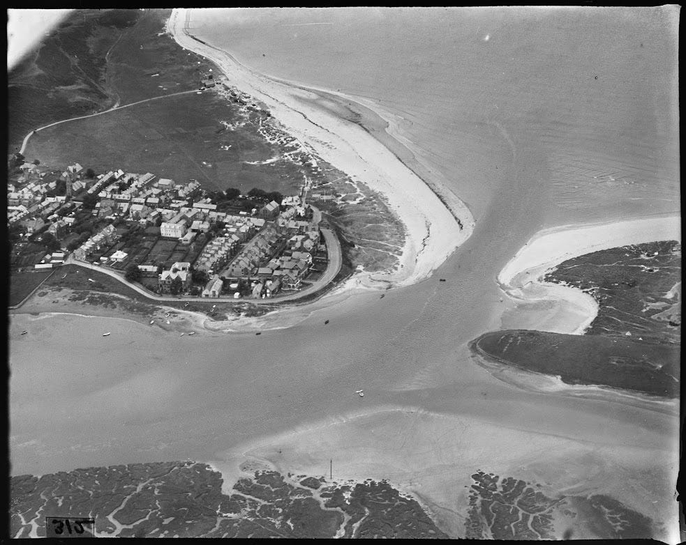
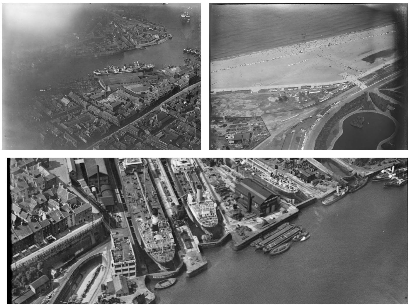
Newly-digitised pictures of the North East from the air in the 1930s have been released by Historic England.
The images, ranging from coastal views to shipyards, include a busy Smith’s Dock at North Shields, which is now being developed for housing.
The collection of images, from the Historic England Archive, were taken by aerial photographer Arthur William Hobart and feature 242 pictures showing the national landmarks, towns, industrial sites, construction projects and seaside resorts of 1930s interwar England.
Gary Winter from the Historic England Archive team said: “This collection gives us a fascinating insight into the 1930s North East from the air.
“The collection is now available online for the first time and includes 11 images of the North East.”
Read more: Staying true to its (folk and) roots - Beyond the Moor 2024
The Historic England Archive collections include more than 14 million photographs, drawings, plans, documents and publications from the 1850s to the present day, covering the whole country.
Over one and a half million records and nearly 650,000 images are available to be searched online.
This includes over 480,000 images from 1919 to now, which have been added to Historic England’s Aerial Photograph Explorer platform, allowing people digital access to a nationally important collection of aerial photographs, showing the changing face of England’s urban and rural landscapes over the last 100 years
The content of the latest digitised photographs reflects the market demands of the time. Photographs for postcards were Arthur Hobart’s largest market, but municipal authorities and the press were also principal clients. Photographs would have been taken on a commission basis, as well as speculatively.
Trading on their unique selling point of providing views that people would not have been seen before, Hobart also appears to have been tapping into the emerging demand for aerial photos from other sources such as the construction industry and industrial sectors.
The collection forms a part of a larger and mostly undiscovered body of Arthur William Hobart’s aerial photography work, thought to be around 10,000 images.
Duncan Wilson, chief executive, Historic England said: “These photos let you take flight over 1930s England, to see the changing face of the country in the interwar period.
“Many will not have seen so many well-known landmarks and sites from this fresh perspective provided by aerial photography.
“We are the guardians of the largest national collection of aerial images in the country and hope that releasing this collection helps inspire people to learn more about their local history through our online Aerial Photography Explorer tool.”
To view the collection visit the dedicated section on Historic England’s website.


